amkumma
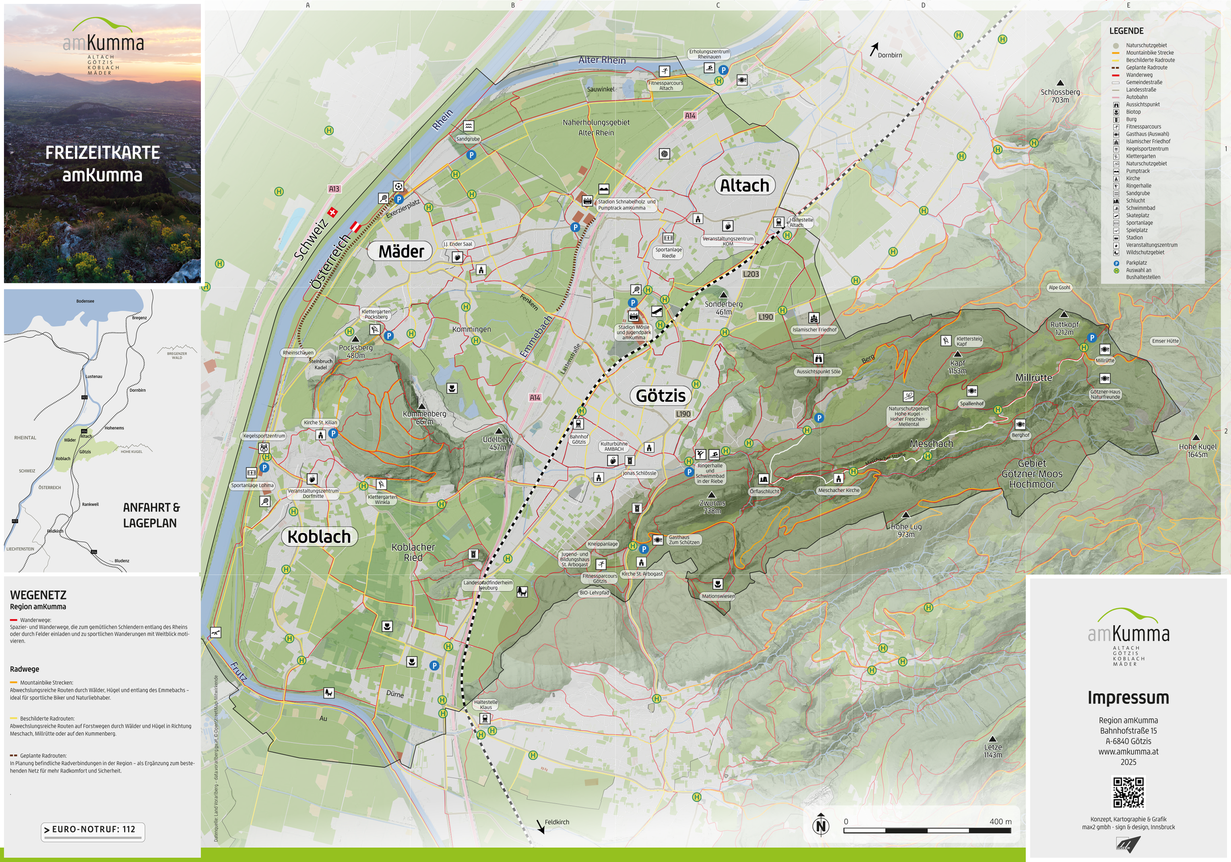
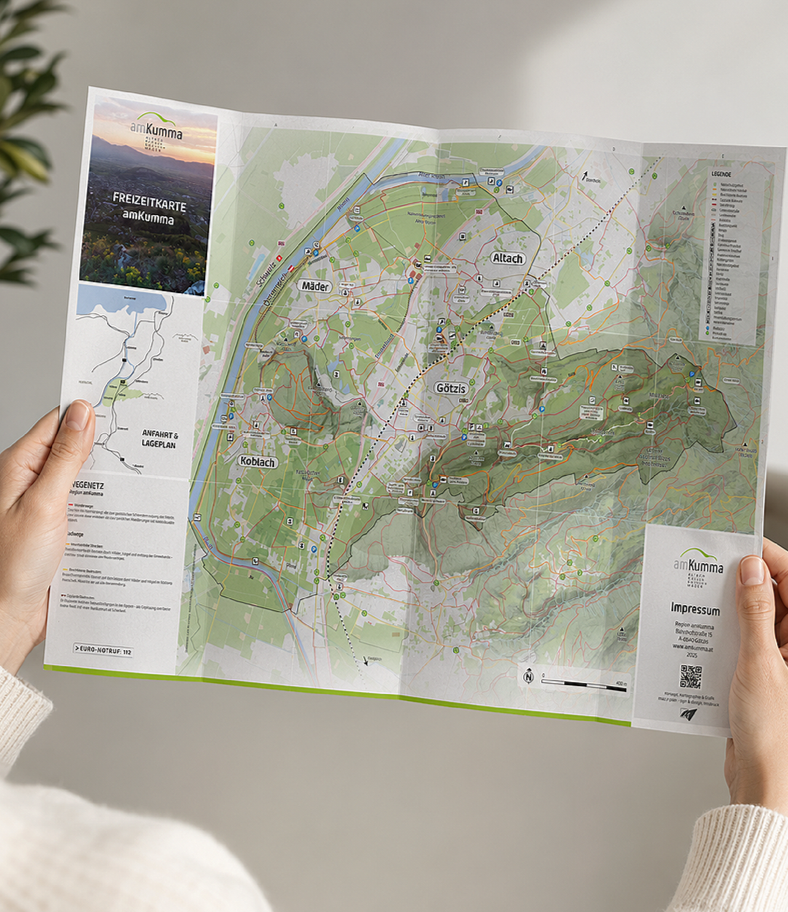
The map amKumma is a large-format recreational map designed to help visitors and locals explore the four municipalities of Altach, Götzis, Koblach, and Mäder.
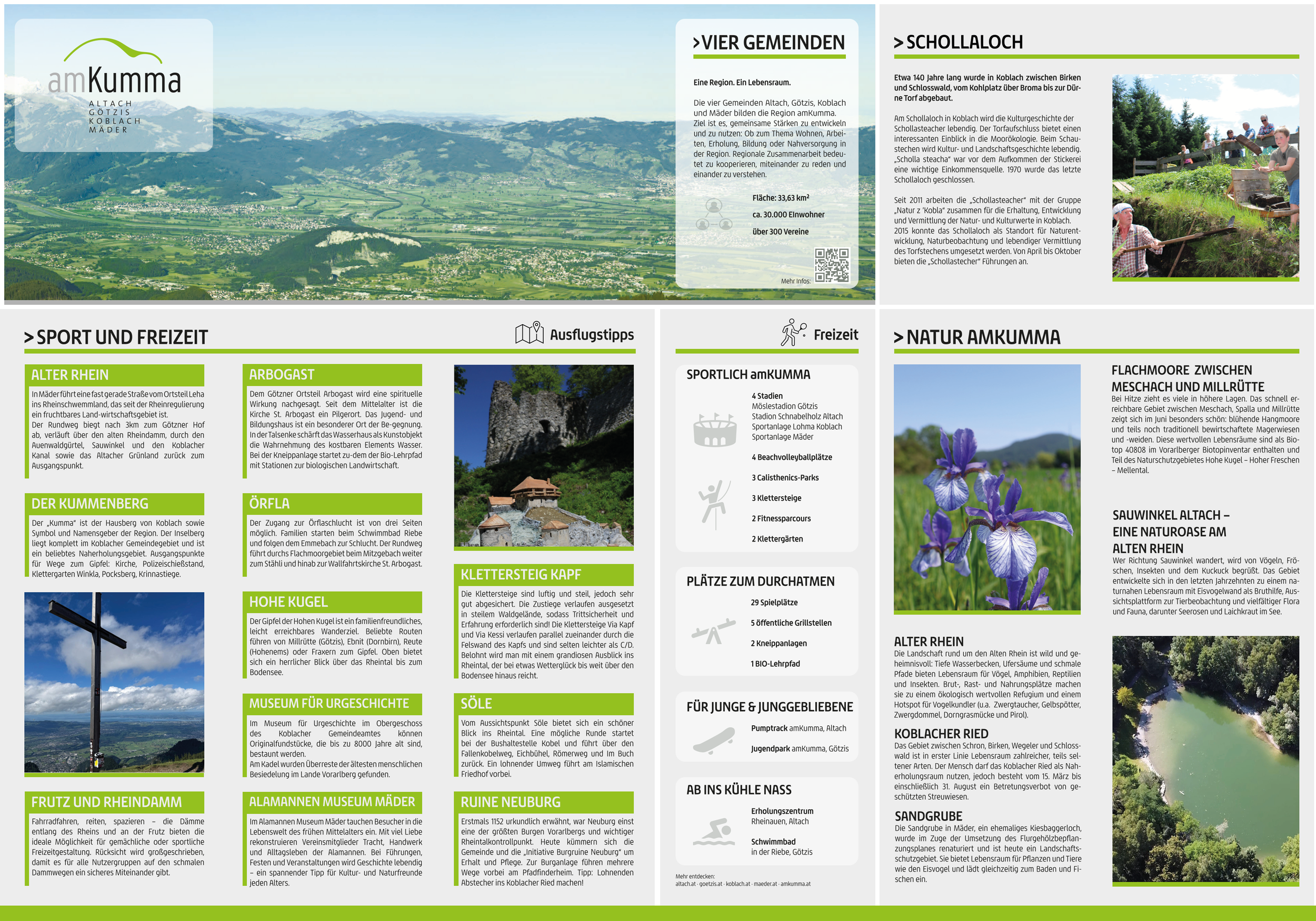
I was responsible for the overall visual design, including the cartographic layout, visual hierarchy, icons, typography, and editorial design of the reverse side. Through several rounds of feedback and revisions, the design was refined into a cohesive and accessible information system that brings together hiking and cycling routes, recreational facilities, natural landmarks, and local attractions.
Project
Location
Vorarlberg, Austria year 2025
Visitor Map amKumma
My role
Discipline
Map Design, Graphic Design, Layout & Revisions
(created @ max2 GmbH)
Cartography, Information & Editorial Design
The Details
From an extensive network of hiking and cycling routes to regional landmarks and recreational facilities, the project required a clear and consistent visual language.
Careful typography, color coding, cartographic symbols, and a structured editorial layout help make a large amount of information accessible and easy to navigate.